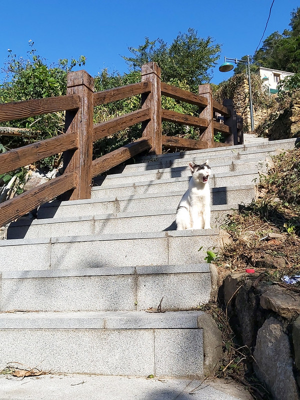
Hidden Trails You Probably Don't Know about on Matsu Islands 1: Nangan
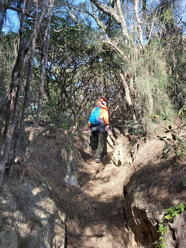
I made a three-day trip hopping Matsu Islands in December 2021, ON FOOT. As you can guess, this is a
non-conventional travel post about Matsu. My friend Mr. Jeffery Chang 張建舫 and I connected the small trails on
Nangan, Beigan Islands, and Dongju Islands and did loop
hikes/walks three days in a row. The first of this Matsu series is the hidden trails on Nangan Island.
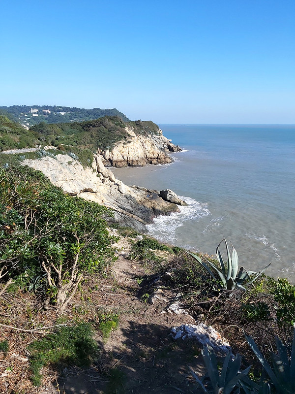
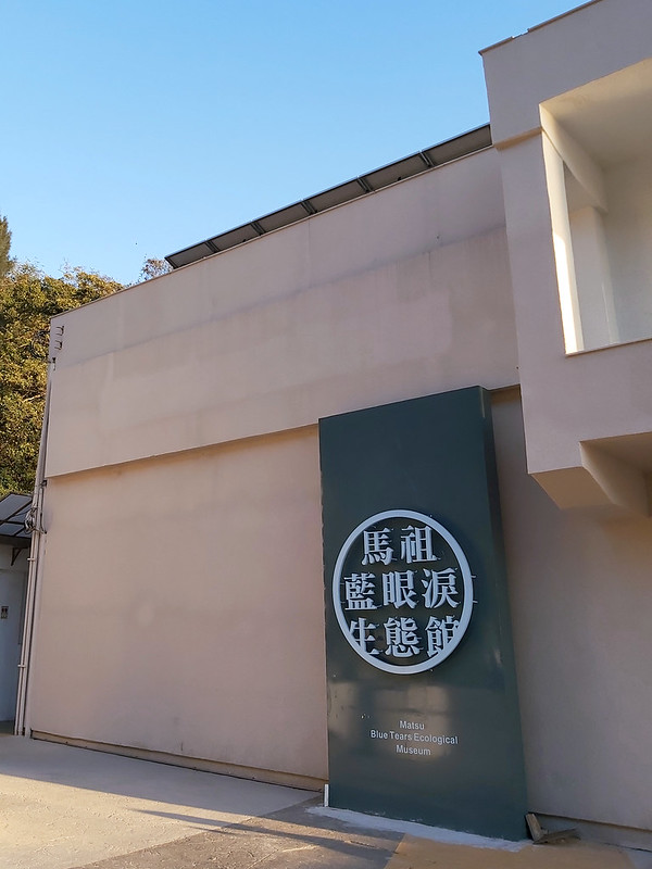
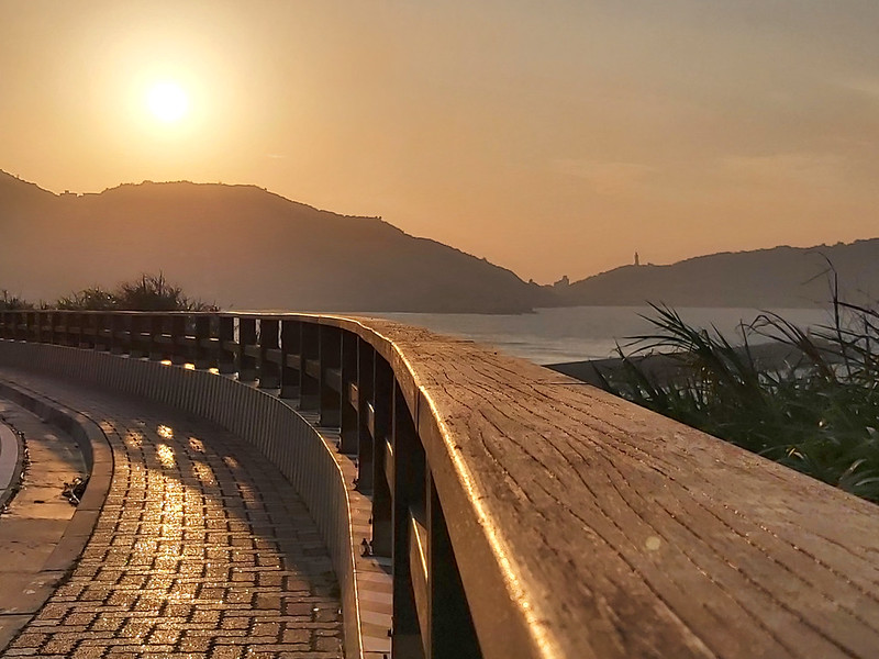
My friend and I visited Matsu in the offseason, and we were almost the only visitors on the islands. I didn't
see the Blue Tears and many famous tourist attractions, but I'm glad that I saw many amazing landscapes if you
are willing to explore them on foot.

A quick info about Nangan Island: the area of Nangan Island is 10.4 Km2 (4.01 miles2),
about the size of 1,988 American football fields. The registered population is close to 8,000 people. Nangan
is also the biggest island among Matsu Islands.
Table of Contents:
- How to Get There
- Transport on Nangan, Matsu Islands, Where to Stay and Mobile Phone Signal
- Map/GPX Data
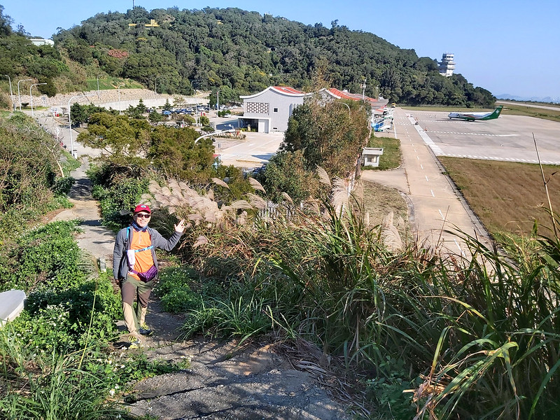
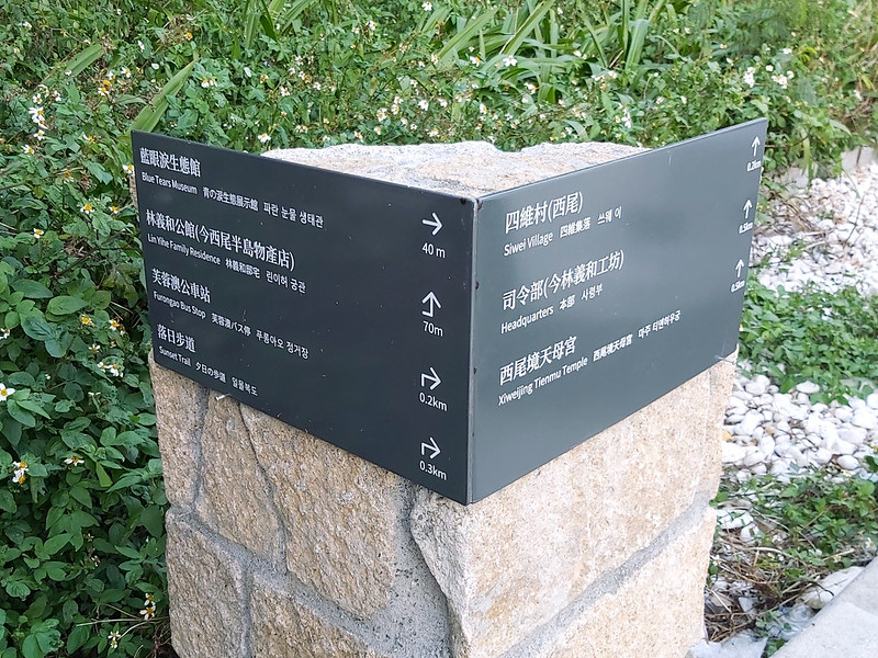
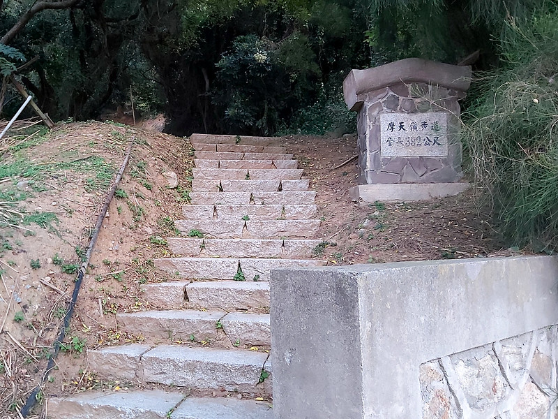
- 7 Hidden Trails/Spots with Amazing Views on Nangan
- Other Attractions worth Visiting
- About the Goddess Mazu and A Brief History of Matsu from Veterans' Perspective
- Things That You Need to Know Before You Go
- Related Posts
How to Get There
By Flights:
Book your flights to Nangan, Matsu from Taipei Songshan Airport (TSA), or Taichung (RMQ) to Nangan from Uni Air. You can download Uni Air app to book your tickets, check-in, etc.

A one-way ticket is NT$2,007 (US$73 63 Euros) from Taipei Songshan Airport and NT$2,455 (US$88, 77 Euros) from
Taichung Airport to Nangan.
It takes around 50 minutes from Taipei Songshan Airport and 75 minutes from Taichung Airport to Nangan.
Notes:
Flights in and out of Matsu are subject to weather. Please check with Uni Air before your flights. You must check in 30 minutes before your flights.
Flights in and out of Matsu are subject to weather. Please check with Uni Air before your flights. You must check in 30 minutes before your flights.
By Ferries
You can take either Taima Star or Tai Ma Ferry from Keelung Port. Keelung Port is next to Keelung Train
Station. You can check out the port's GPS coordinates of Keelung Port: 25.134587, 121.741067 to
get there.

The ferry fares range from NT350 to NT5,250 per adult, depending on the cabin class or seat. Please check schedule and fares.
It takes around 10 hours from Keelung to Nangan. Most passengers will get a cabin to stay onboard overnight
and arrive on Nangan Island in the early morning.
Note:
Since January 28, 2022, passengers must test negative from a self-test kit before on board, according to The Central Epidemic Command Center covid-19 guideline. For any updates of the guideline, please check Taiwan Centers for Disease Control.
Since January 28, 2022, passengers must test negative from a self-test kit before on board, according to The Central Epidemic Command Center covid-19 guideline. For any updates of the guideline, please check Taiwan Centers for Disease Control.
Transport on Nangan Islands, Where to Stay and Mobile Phone Signal
On Foot, like what we did.
Rent A Scooter or A Car:
If you are comfortable with riding a scooter, this can be a time-saving option. To start your journal, you can
pick up the tourist attractions or the trails I mention in this post.
The fare is around NT$500 – 600 per day. Here is the list of scooter rentals.
If you are a foreign national without a local driver's license, you can check Foreigners in Taiwan's post for details. You can also
find car rental information.
By Bus:
There are two bus services on Nangan Island: the local bus and Taiwan Tourist Shuttle.
The local bus service provides two lines: the Mountain Line and the Coast Line (link Chinese
only).
The second one is Taiwan Tourist Shuttle, and the bus will stay at each stop for a while. Passengers can get
off to explore the attractions. Please click this Taiwan Tourist Shuttle's website, click Islands, and then click Lienchiang
County for details.
Hire A Taxi:
If you want to hire a taxi from point A to B, the fare depends on the mileage. Please check here (link Chinese only) for the taxi drivers.
If you want to hire a taxi for the whole day, the price according to this website ranges from NT$2,500 to NT$3,500.
Other Transports on Nangan Island
For other transports, please check Matsu National Scenic Area
Administration's page for details.
Accommodations and When to Visit:
For accommodations, please check Matsu National Scenic Area Administration's list of
hotels.
The best seasons to see Blue Tears are between late April and September. Summer is the high season and can be
very crowded. The weather is scorching in Matsu, too.
For me, the best season is winter. When my friend and I visited Matsu in December for 3 days, we got 2
wonderful sunny days. It was even much warmer than I expected. But it can be cold in winter. So please dress
in layers and prepare rain gear or a windbreaker.
Mobile Phone Signal:
It's pretty good in most areas on Nangan Island. My friend said sometimes he would receive signals from the
telecom carrier from China. That didn't happen to me.
Map/GPX Data
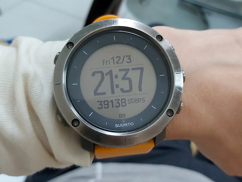
Date of Hike: December 3, 2021
Route map for Matsu Islands - Nangan by Anusha Lee on plotaroute.com
Click Menu in the map to download, print or share the map.
You can see more options after clicking Play button.
Click to change the speed to meet your condition.
You can see more options after clicking Play button.
Click
to change the speed to meet your condition.


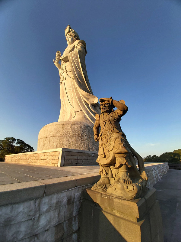


About the Goddess Mazu and A Brief History of Matsu from Veterans' Perspective
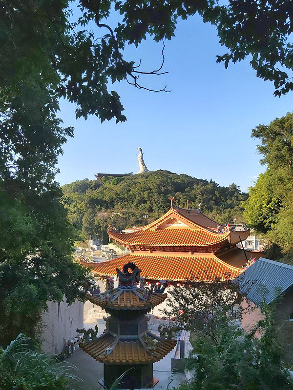
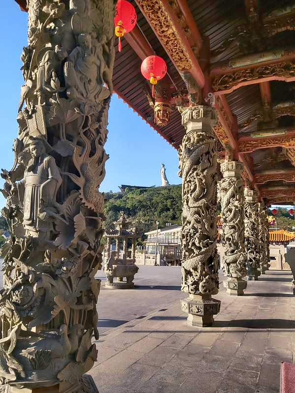
Mazu Temples
Matsu Islands, officially known as Lienchiang County under the Fujian Provincial Government, is an archipelago
of 36 islands and islets, including 4 townships and 5 major islands: Nangan Township (Island), Beigan Township
(Island), DongyinTownship (Island), and Jugang Township (including the other 2 major islands: Dongju and Xiju).

Among so many temples on this archipelago, 9 of them worship Goddess Mazu, and 4
of them were built between 1761 and 1809.

If you are interested in temples, you can check out this website, Matsu Gods, maintained by Lienchiang
County Government.

We passed 2 of the 3 Mazu Temples on Nangan Islands: Jinbanjin 金板境 and Matsujin 馬祖境. The Mazu statue at
Jinshajin Temple 津沙境 is a dark-faced one.
Mazu Temples play an essential role in Matsu people's daily life. I'll spend more time on Mazu Temples when I
revisit Matsu.
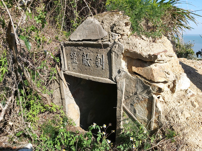
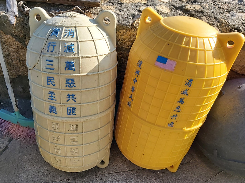
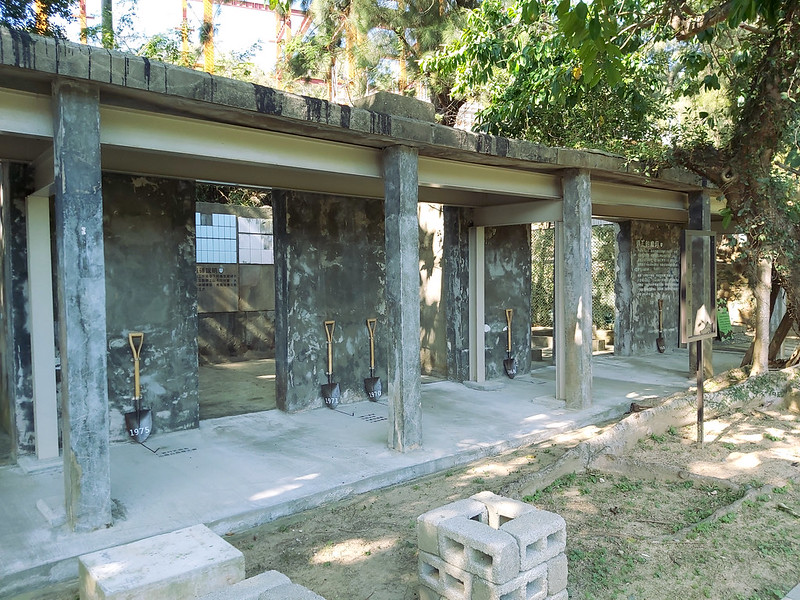
Military Life Now and Then
Matsu Islands and Kinmen Islands were under martial laws from 1949 to 1987, since the Chinese Nationalist Party
(Kuomintang, KMT) retreated to Taiwan.
On November 7, 1992, Taiwan abolished Battle Field Administration. The military government was lifted on Matsu
and Kinmen. The restrictions on entry to the areas were eliminated on May 31, 1995.
Adult male citizens in Taiwan were obligated to take military service for two years. My friend told me her
mother cried her eyes out when it was time for her big brother to serve in the army about 30 years ago.

During that time, serving in Kinmen and Matsu Islands was the worst nightmare those male adults could have ever
had but also the most memorable part of their adult life.
Why serving in Kinmen and Matsu was a nightmare? One reason was that life was strict and dull on the remote
islands. Plus, flying back home to mainland Taiwan wasn't easy.
The second reason was those islands were very close to China. This location made them target of the possible
shelling or frogmen (combat divers or water ghost 水鬼 in Chinese) ambush.
My friend A served as an officer on Nangan Island about 30+ years ago, and he shared things that may not be good
to be put here. He recalled the tremendous pressure, and he wasn't sure he could make it back to Taiwan in one
piece.
Many soldiers killed themselves or got killed. When they stood guard in the middle of the night, they might get
the most severe consequence if they exchanged the wrong code words.
Civilians were not allowed to approach the bases, either. So, my friend A and his counterparts had to deal with
the enemy from the other side and the potential confrontation from the local people.
To him, those years he served in the military are the darkest memory in his life.

When I mentioned a friendly soldier told me that I couldn't take photos in certain areas, my friend A was
shocked. Things are much different now. I guess if I had approached the base during that time, I would have
become the shooting target within a few seconds.
After martial law was lifted, it was less stressful to be a soldier in Matsu. The relationship between the
military and local people is much less intense. When tourists accidentally approach those sensitive bases, the
soldiers on guard ask them to leave in a friendlier manner.
Now Matsu has embraced a new identity and tried to become a vacation paradise to attract tourists. The stringent
life in the frontline facing the enemy is one of the bestselling features of Matsu. Who would think of such a
vast transformation in the old days?
Other Attractions worth Visiting
Here are the other attractions I like during my visit to Nangan Island.
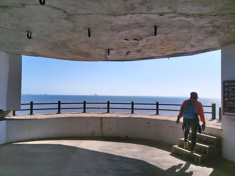
Beihai Tunnel
I visited similar tunnels in Kinmen many years ago. Beihai Tunnel is a must-visit attraction on Nangan Island.

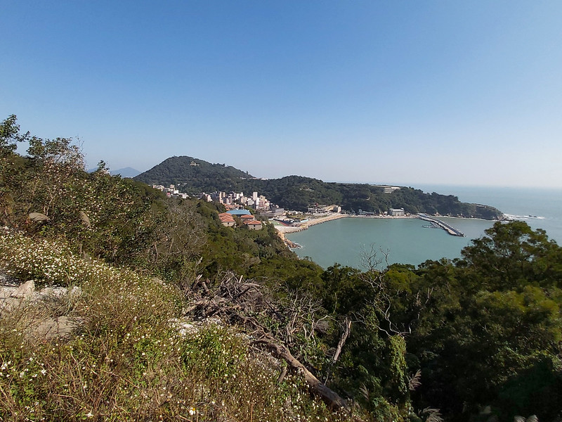
Ten Martyrs Monument 十烈士紀念碑
While standing there, you will see Mt. Yuantai and the beautiful coast. But, unfortunately, you'll also see the
poor urban planning in Taiwan that will never change, the abrupt residential buildings on the hill, the ugly
warehouse right in front of the monument.

Other than that, this is still a great spot to enjoy the view.
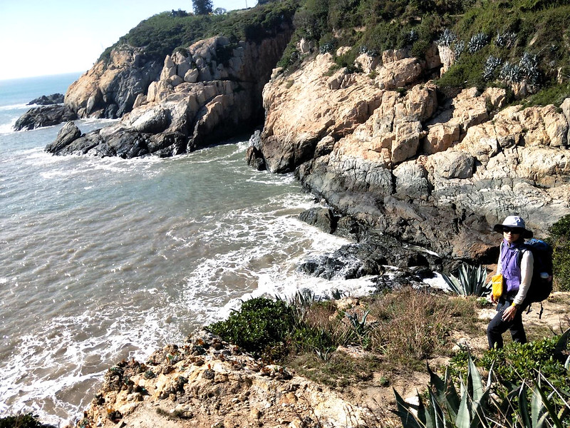
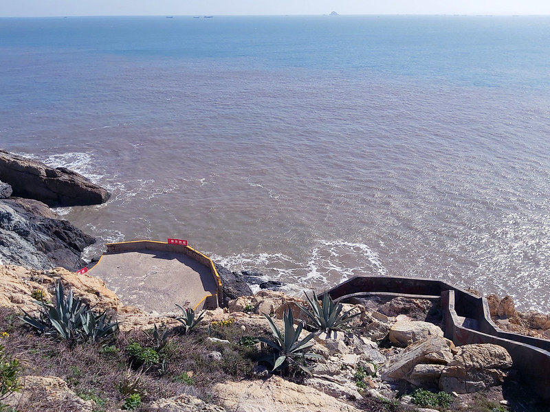
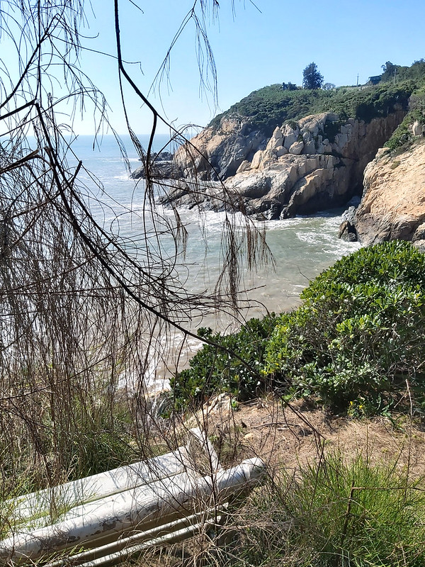
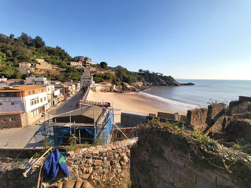
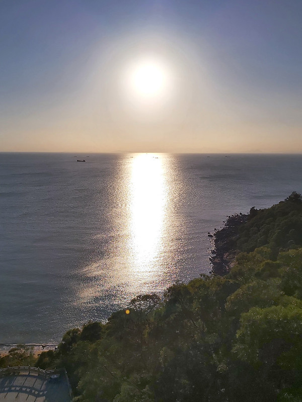
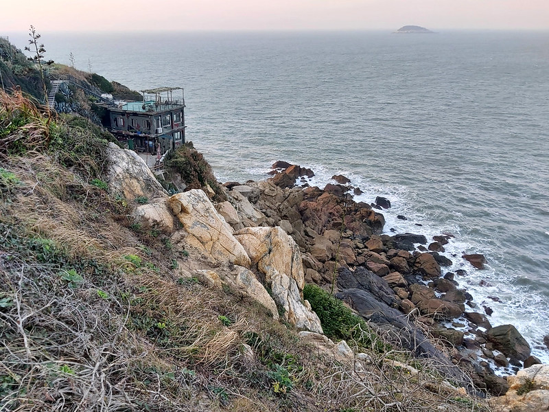
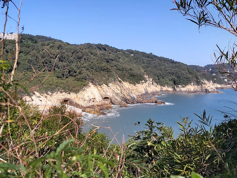
The Beautiful Golden Sand Beaches
Most beaches in Taiwan are dark and gray, but the beaches around Nangan are light golden shades.
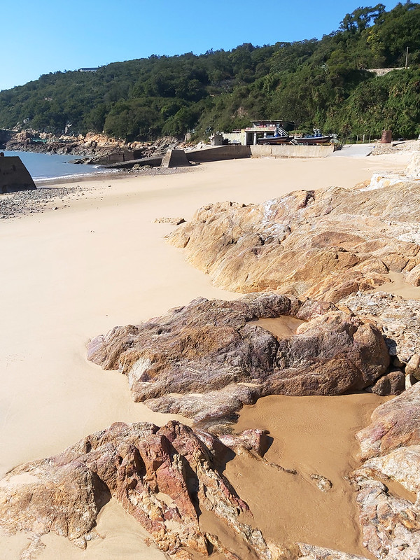
Some expats said Matsu beaches are JUST OK, and they only care for Kenting for the beach destination. To me, the
beaches in Matsu are perfect the way they are. They don't need to impress humans anyway.
If I had enough time, I'd be delighted to sit there sipping my coffee.
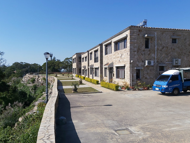
Old Stone Houses
Jinsha Village also has many traditional Matsu stone houses. But I also see many new constructions going on. My
friend said those were renovated and transformed into B&B to accommodate tourists.


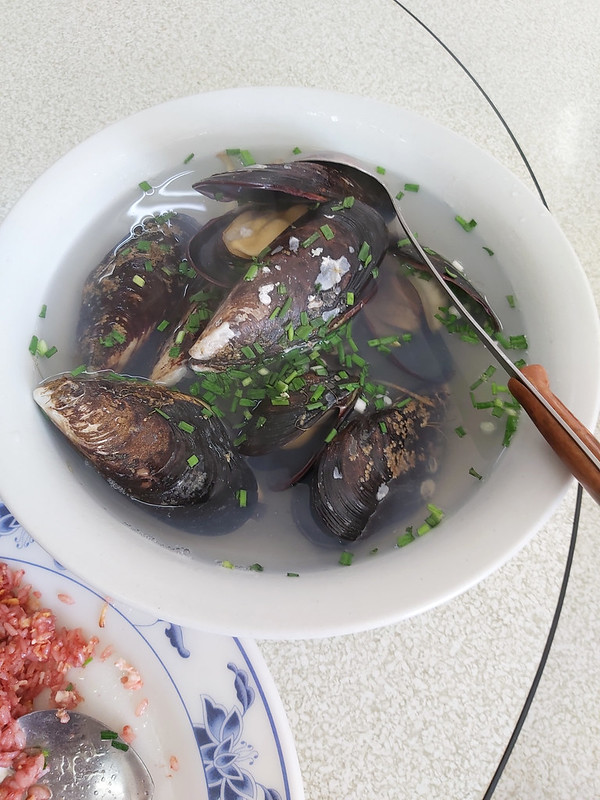
Dan Tsai (Mussels) 淡菜
When my friend said we would have Dan Tsai, I had no idea what that was. I thought it was vegetable because Tsai
菜 means vegetables in Chinese. It turned out those were mussels. They were the most gigantic mussels I've ever
had. Very tasty. Winter is the right season to enjoy mussels in Matsu.
There Are More...
Nangan Island isn't big, but we still didn't get to see many things, like Mt. Yuantai, Iron Fort, etc.

Things That You Need to Know Before You Go
Wear A Pair of Comfortable Footwear
If you plan to visit Nangan on foot, please don't wear hiking boots or slippers. As a hiker, I'm so used to
wearing a pair of hiking boots. My feet ended up being swollen on the first day already. But, I sucked it up to
finish the rest two days.
Spring is the Fog Season
the fog season is between March and May. Therefore, the flights might be canceled due to heavy fog or poor
weather conditions.
It Can Be Very Windy in Winter and Scorching Hot in Summer
Matsu is much colder than Taiwan due to its higher latitude. Northeast Monsoon also makes Matsu much colder in
winter. If you want to avoid the floods of tourists in summer, please prepare proper clothing accordingly.
Blue Tears Phenomena
If you want to see this unique algae phenomenon, you should visit Matsu between late April and September.
And prepare for the crowd while waiting for this phenomenon.