Matsu Islands 3: A Relaxing Walk on Matsu' Beigan Island to See Coast and Old Houses at Qinbi Village
Matsu's Beigan Island is another great getaway to enjoy the stunning coastline and white sand beaches like
Banli Beach. In addition, you'll find Qinbi Village with old stone houses that remind people of the
Mediterranean Sea. Beigan Island is also home to the critically endangered Chinese Crested Terns. If you
extend your stay further, you can also go to Daqiu Island to see Formosan Deer roaming and grazing.
This is also my third post about my walk on Matsu Islands. There are still more amazing places on Matsu
Islands waiting for me to explore. Matsu Islands are definitely worth visiting again.
Table of Contents:
Trail Information
Trail Name: Beigan Island trails
Distance: 20 km (12.9 miles). The total length of the trails is longer than 20 km, but you can decide how to do them.
Route type: Loop
Days/Hours Needed: It depends on how much you want to walk. We did around 8 hours.
Total Ascent/Descent: 697m/689m
Best Time to Go: All year-round, but it can be very hot in summer. However, the fog season is between March and May. Therefore, the flights might be canceled due to heavy fog or poor weather conditions.
Permits: Not required
Difficulty Level:
Personal Enjoyment
Things I Enjoy:
Like my trips on Nangan Island
and Dongju Island, the walk
around the island is delightful. Although the weather was gloomy on our last day on Matsu Island, it was still
a pleasant walk.
Thing I Don't Enjoy:
The off-putting thing is the ugly steps after renovation near Stronghold No. 42. Our government is good at
killing the good vibe and turning good things unappealing.

Other Places I Missed:
There are many places I didn't get to visit, and I'll put those on my itinerary next time.
-
Geli Islet (Clam Islet) 蛤蜊島: There
is a land-tied island near Mt. Nigu, and it looks like a clam. That's why it's called Geli Islet, meaning
Clam Islet in Chinese. During low tides, people can walk to Geli Islet. But please make sure you check the
tidal forecast before you go there.

Geli Islet looks like a clam. Photo by Jeffery Chang 張建舫. -
Luoshan (Mt. Luo) Isle Trail 螺山自然步道: Luoshan Isle Trail is at Houwo Village
后沃村, close to Beigan Airport. This trail is short, only 700-meter long, but the views are stunning,
according to people who have visited there.
When reaching the trail's end, visitors can see a rock formation that resembles the Chinese philosopher, Confucius. This rock formation is therefore called Confucius Statue on the Sea.
The white sand beach near Wouwo Village. Photo by Jeffery Chang 張建舫.
Some people say some sections of this trail might induce the fear of height. If you are not comfortable with the height, please don't take this trail. -
Bishan (Mt. Bi) 壁山: Bishan, aka Mt. Bi, is the
highest mountain on Matsu Island, 298 meters above sea level.
It's not a tall mountain, but the views are wonderful. Visitors can see the small islets around Beigan and Beigan Airport, and this place is also popular to watch airplanes taking off and landing and among photographers.
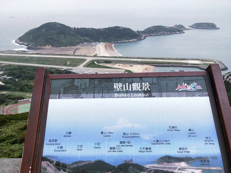
Photo by Jeffery Chang 張建舫. 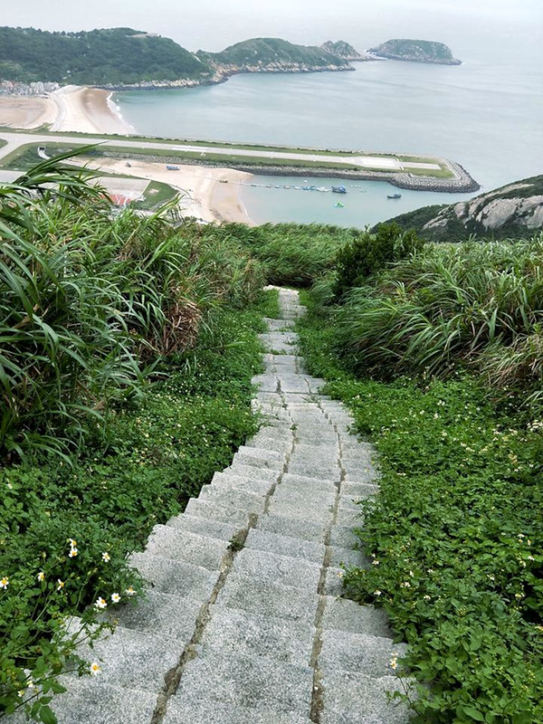
Photo by Jeffery Chang 張建舫. -
Daqiu Island 大坵島: Island of Formosan Deer: Dubbed
the Island of Formosan Deer, Daqiu Island is on the north of Beigan Island, close to Gaodeng Island.
Visitors need to take a ferry to get to Daqiu.
There were residents and armies living on Daqiu Island, but they gradually moved to Nangan and Beigan. Daqiu became an uninhabited island.
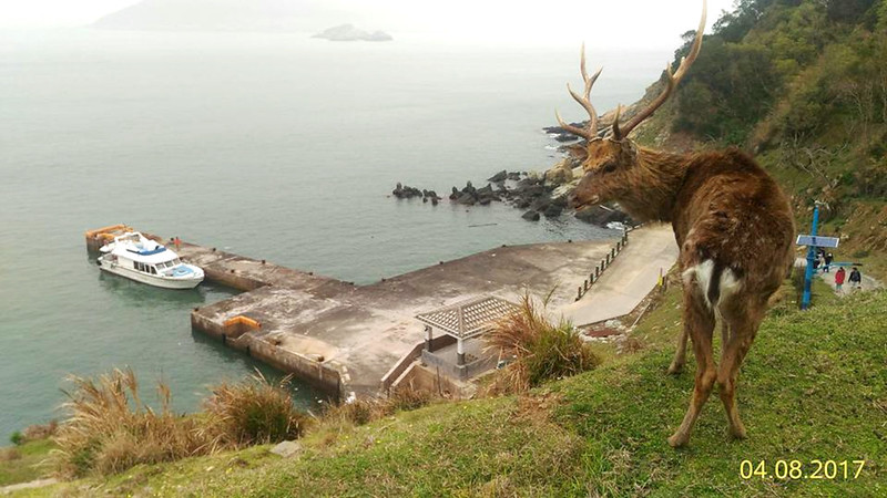
Photo by Jeffery Chang 張建舫. However, in the 1980s, Taipei Yuanshan Zoo sent 5 Formosan Deer to Lienchiang Government as gifts. Those animals were released on Daqiu Island and bred quickly. As a result, Formosan Deer have become the main residents on Daqiu Island and attracted many tourists.
Photo by Jeffery Chang 張建舫. 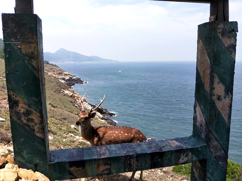
Photo by Jeffery Chang 張建舫.
A few things worth mentioning here:
- The first one is Gaodeng Island. This island is the closest place to China, and the distance is only 9.25 km (5.75 miles). But Gaodeng hasn't been open to the public yet.
- The second thing is Beigan's Sanlian Islet 三連嶼, which is also home to the
critically endangered terns, Chinese Crested Terns 黑嘴端鳳頭燕鷗. Sanlian Islet is
also listed as Matsu Islands Tern Conservation Area 馬祖列島燕鷗保護區 to protect this precious bird.
Terns watching on the sea is available in July and August.
Map/GPX Data
Date of Hike: Solo hike on August 22, 2021
Route map for 20211205-Beigan-Matsu by Anusha Lee on plotaroute.com
Click Menu in the map to download, print or share the map.
You can see more options after clicking Play button.
Click to change the speed to meet your condition.
You can see more options after clicking Play button.
Click
to change the speed to meet your condition.
How to Get to Beigan and Transport on the Island
By Ferry from Nangan Island
There is no ferry from Keelung Harbor to Beigan Island. Visitors must take another ferry from Nangan Island to
Beigan Island. Please check my Nangan post for details.

By Plane from Taipei to Beigan Island
Please check Uni Air for flights from Songshan Airport in Taipei. You can download Uni Air app to book your tickets, check-in, etc.
Ferry to Daqiu Island
Ferries to Daqiu Island are only available between March and October, and you can
book your tickets in advance.
Transport on Beigan Island
You can rent a scooter or explore Beigan Island on foot.
Or you can take buses on Beigan Island. There are two lines on Beigan, Mountain Line and Coast Line. You can
check the bus stops and schedules here.
About Beigan Island, Qinbi Village, and More
On November 7, 1992, Taiwan abolished Battle Field Administration. The military government was lifted on Matsu
and Kinmen. The restrictions on entry to the areas were eliminated on May 31, 1995. Since then, Matsu has
transformed into a tourist hotspot. The history of military rule combined with the unique nature of the Matsu
Islands has made this place one of its kind.

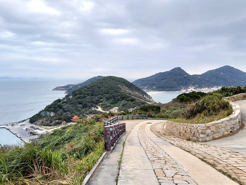
Beigan is a hilly island with many beautiful white sand beaches and small islets.
Those islets spread on the ocean like arms embracing the sea on the south side.
When hiking on the hills, you will see islets spreading out into the sea. It also looks like emeralds scattering
on the blue ocean, which makes me want to revisit Beigan when the weather is great.
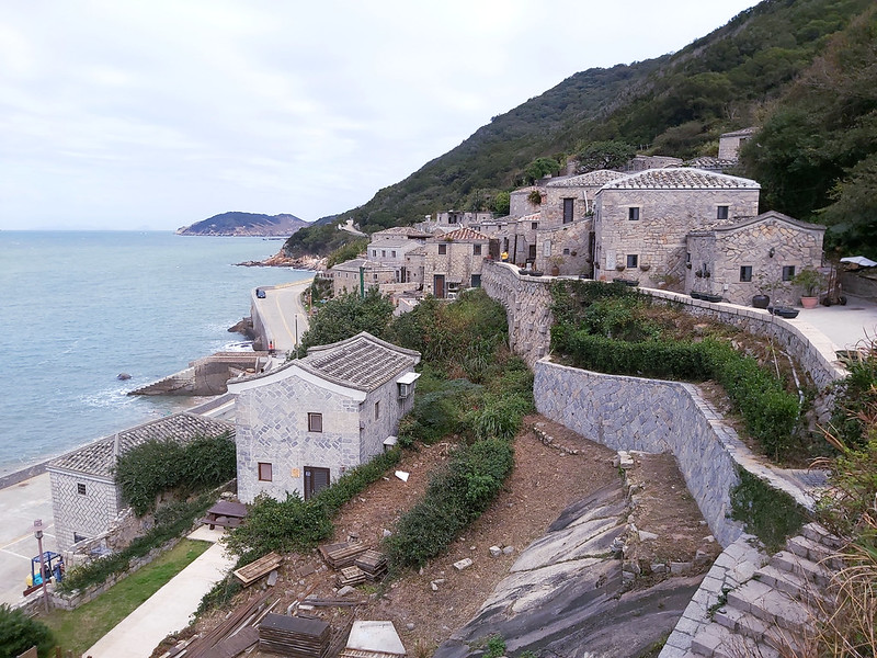
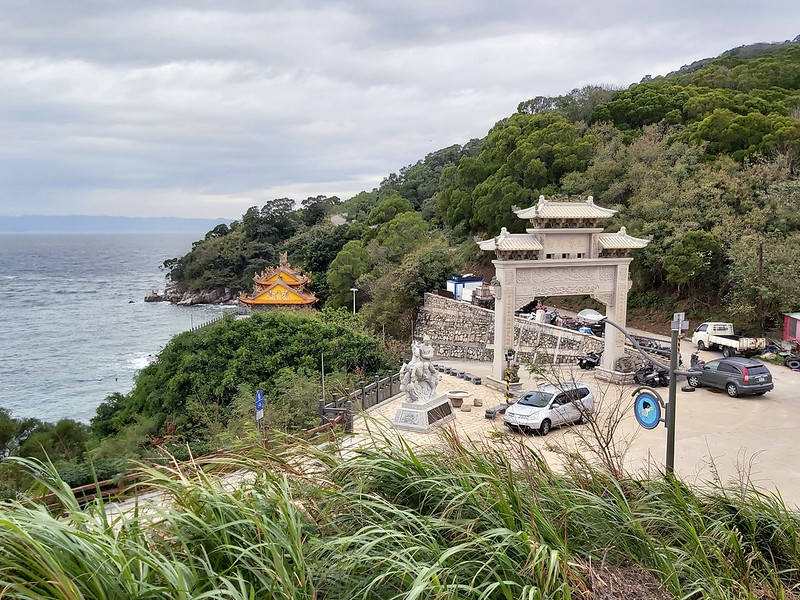
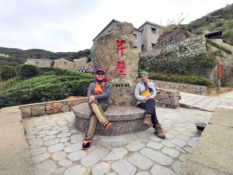
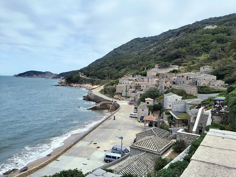
About Qinbi Village
Qinbi Village is located between Mt. Qin (Qinshan) and Mt. Bi (Bishan) on Beigan
Island, and that's how it got this name. The history of Qinbi Village can be traced back to the 13th century,
and fishing was the main livelihood for the villagers.

Nowadays, Qinbi Village has transformed into a tourist hot spot because of the well-preserved settlements with
old traditional stone houses on the hills. As a result, some people dubbed this is the Mediterranean Sea in
Taiwan.

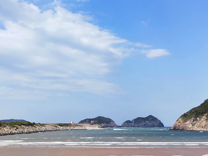
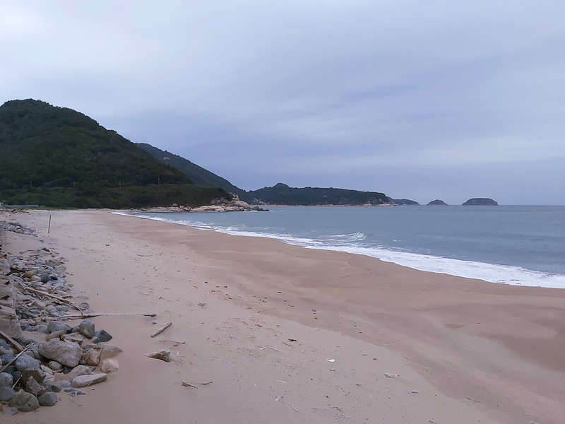
About Banli Beach and Wusha Beihai Tunnel
If you are a beach person, you can't miss Banli Beach. This beach is huge compared to others I saw on Matsu
Islands. This one is also a white sand beach surrounded by Mt. Qing, Mt. Ban, and Mt. Li.
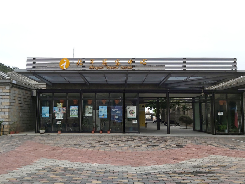
A Mazu Temple is not far from the beach, watching over people and the villages. Banli Mansion and Beigan Visitor
Center are near Banli Beach, too.
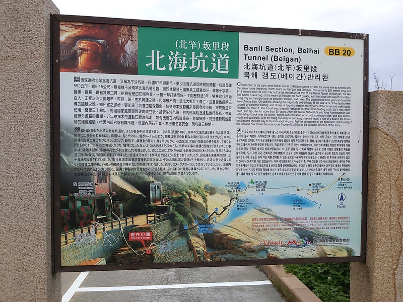
You can walk on the footpath and reach the Wusha Beihai Tunnel. This tunnel
isn't as famous as Beihai one on Nangan Island, and people say it's much darker inside.
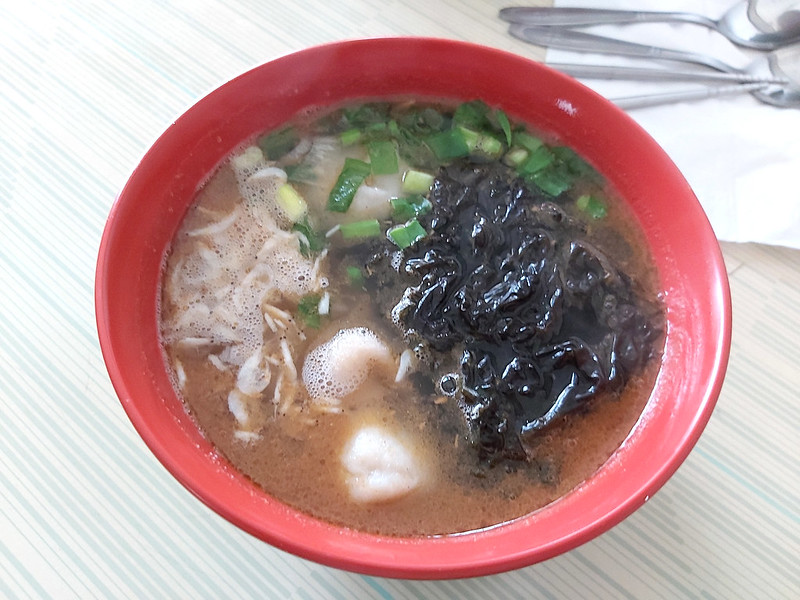
About Beigan Fish Noodle Soup 北竿魚麵
Fish noodle soup on Beigan Island is famous among tourists. It's made of dough with 60% of deboned fish and 40%
of starch. Then, cut the dough into strips and dry them under the sun for at least 2 days. It's a little bit
fishy if you don't like the smell. I'm ok with the smell, and I like the slightly chewy texture.

And, of course, Matsu Gaoliang Liquor.

My Itinerary
Brief itinerary: Nangan's Fu'ao Harbor ➔ Beigan's Basha Harbor ➔ Mt. Nigu ➔
Stronghold No. 24 ➔ Mazu Temple, Beigan Visitor Center, and Banli Mansion ➔ Wusha Beihai Tunnel
➔ Qinbi Village ➔ Qiaozi Village (Daqiu) ➔ Bishan trailhead ➔ Beigan Airport
07:00 We took the ferry at Fu'ao Harbor to Beigan Island.
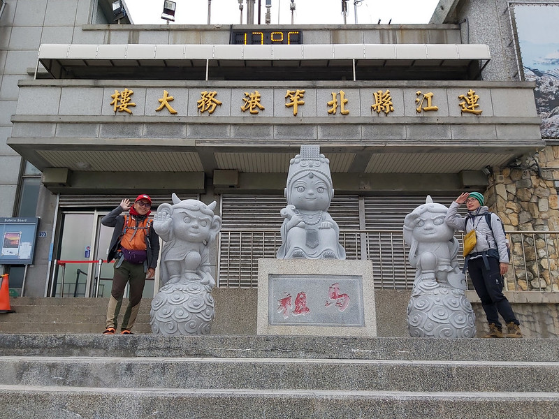
07:17 Arrived at Basha Harbor on Beigan Island.

It took us a while to find the correct footpath. We also met a girl who tried to find the hospital on this
island. She said she was inspired by a TV drama years ago and decided to become a nurse. So she came to Beigan
to visit the hospital where the drama was shot.

I don't watch TV, but I later found out the drama was They Kiss Again 惡作劇之吻2 in 2007. I
thought this was a touching story.
07:57 Arrived at Nigushan (Mt. Nigu) Camp 尼姑山教練場.
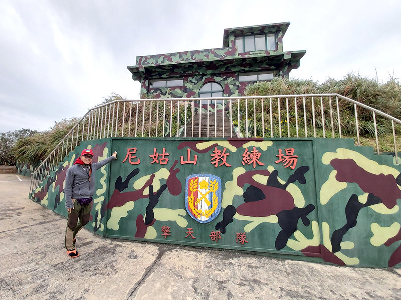
Mt. Nigu is an excellent spot to see western Beigan Island.
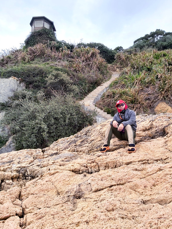
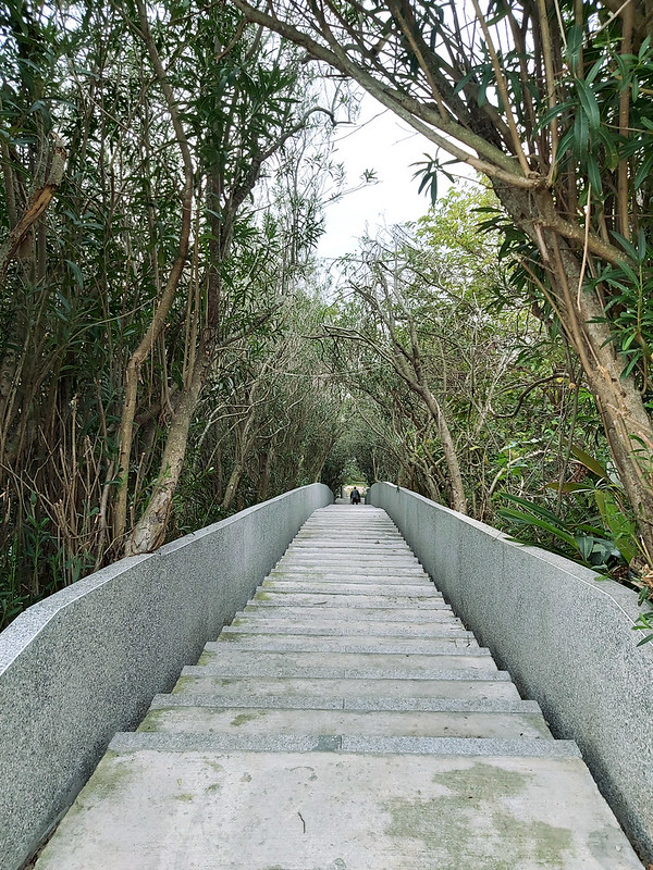
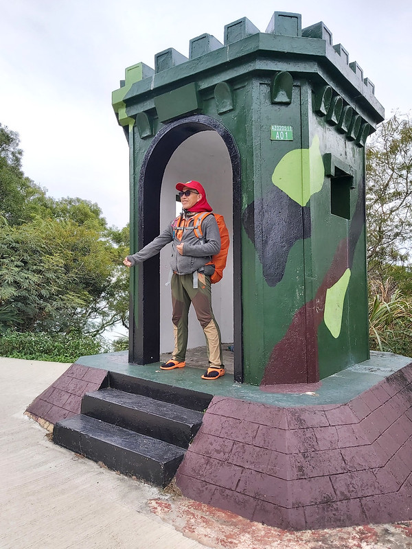
08:14 Get to the entrance of Stronghold No. 42 (42據點). Before we reached here,
my friend told me the stairs surrounded by trees looked like Totoro's tunnel depicted in the Japanese animated
fantasy film, My Neighbor Totoro 龍貓, in 1988.
I was very excited to see that. However, as always, there was a gap between expectations and reality. The local
government did a renovation which totally killed the atmosphere. You can click here, Ugly Steps 好醜的樓梯, to see the before and after, and you will know what I
mean.
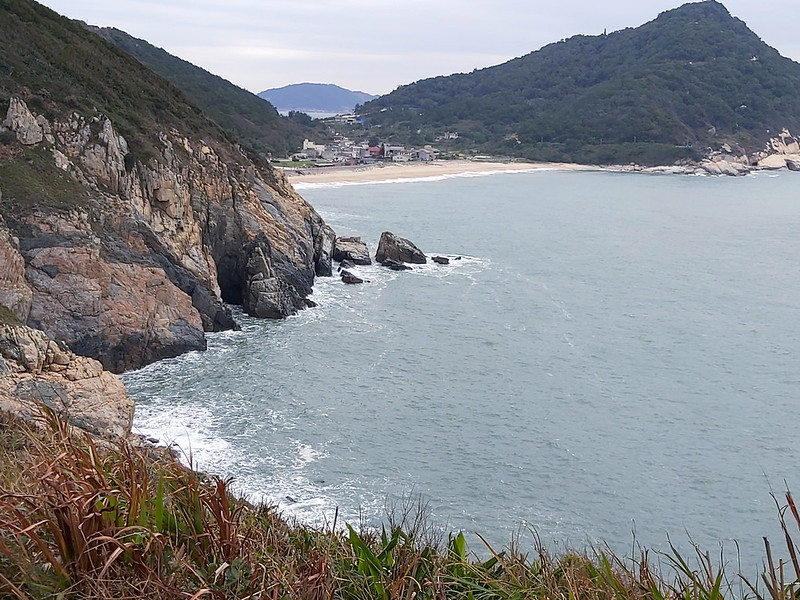
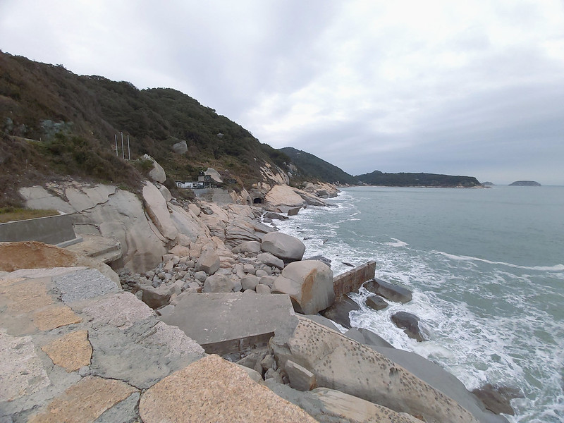
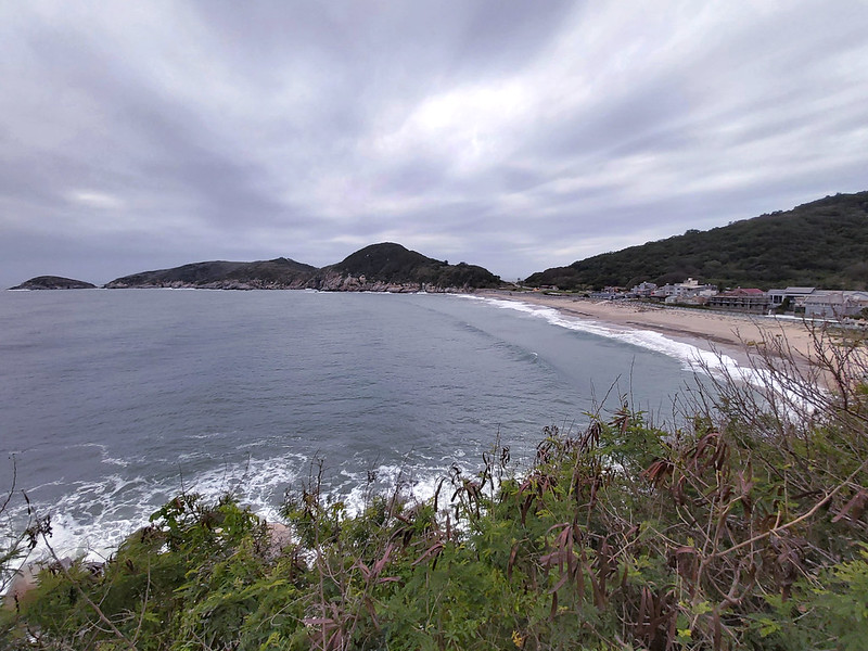
Although the steps were a big disappointment, the seashore wasn't. When we were on Beigan Island, the weather
was gloomy, but the seashore was still beautiful.

We stayed here a little bit longer to enjoy the waves. It must be fantastic with the blue sky and ocean. This
spot is also a place to see the Blue Tears. Well, next time.

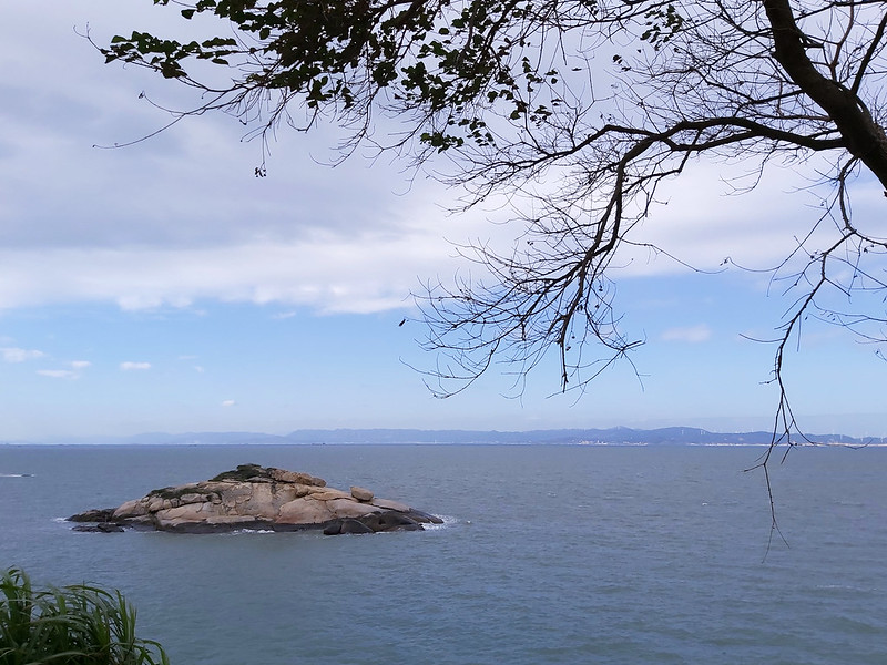
Geli Islet 蛤蜊島, meaning Clam Islet in Chinese, wasn't far from here. But we didn't
visit there. Instead, we took the same way back to our next place.
09:33 Arrived at the junction to White Horse King Temple 白馬尊王廟 on Beigan
Boulevard 北竿大道. We took a right and headed to Banli Village 坂里村.
09:44 Arrived at Banli Village and reached Mazu Temple 天后宮.


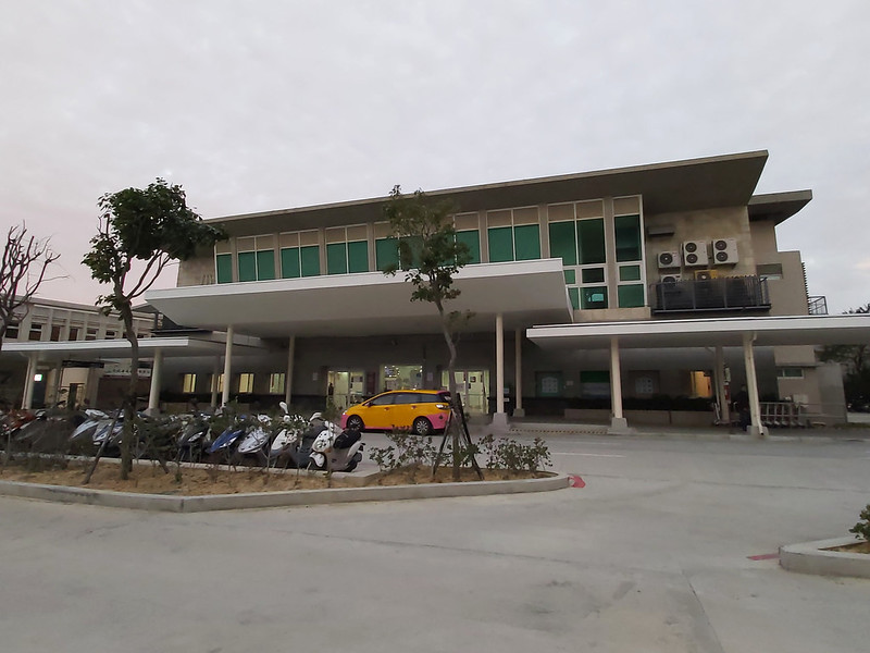
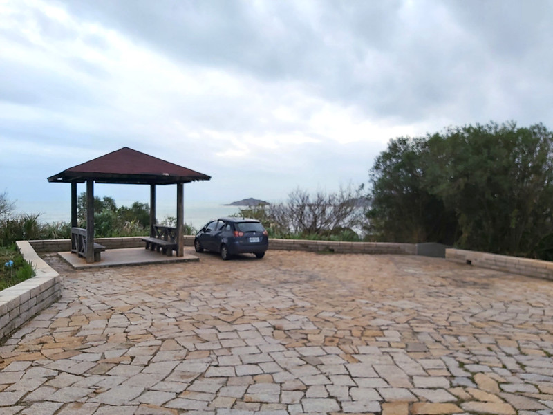
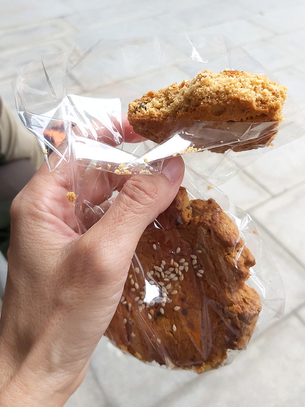
09:55 Arrived at Beigan Visitor Center 北竿遊客中心. We took a long break here.
I ate the cookies I bought on Dongju
Island the previous day, and I was impressed. However, I wish I had bought more cookies—another thing to
add to the list for my next Matsu trip.
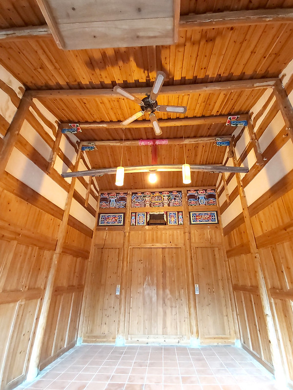
After the break, we went across the street to visit Banli Mansion 坂里大宅. It was owned by the Wang family and was
built over 100 years ago.
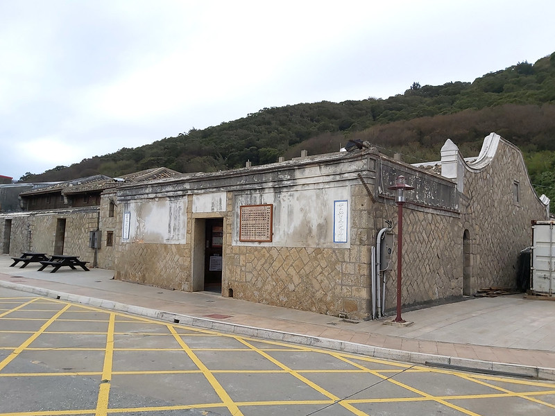
During the Martial Law, this mansion was recruited by the military. Later, the Wang family renovated this
mansion and opened half of it to the public. The other half has become B&B.
We Resumed our hike and passed some farms.
11:11 Saw signs of Wusha Beihai Tunnel 午沙北海坑道.
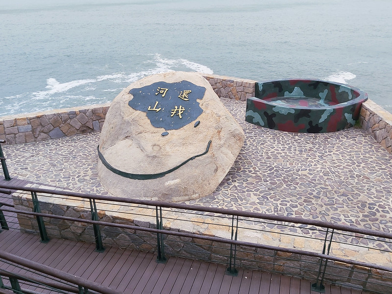
11:15 Reached the lookout with a rock carved with 還我河山, meaning "Reclaim the
land (country) to me" in Chinese. This place was also the entrance of Wusha Beihai Tunnel.
We didn't get inside the tunnel. We stopped at the lookout to enjoy the coastline.
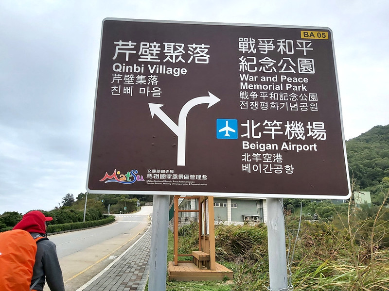
11:39 Reached the road sign of Qinbi Village and War & Peace Memorial Park on
Beigan Boulevard. Passed Stronghold No. 37 (37據點).
11:55 Passed an old checkpoint. My friend posed for photos here.
While we walked uphill along the road, a very kind gentleman stopped his car, asking us whether we needed a
ride. My friend kindly declined, but to be honest with you, my heart was screaming, YES, I NEED ONE, PLEASE!
12:19 Passed the map of Qinbi Trail 芹壁步道 and then the sign of Ankang Trail 安康步道
and Yongkang Trail 永康步道. We took Yongkang Trail.

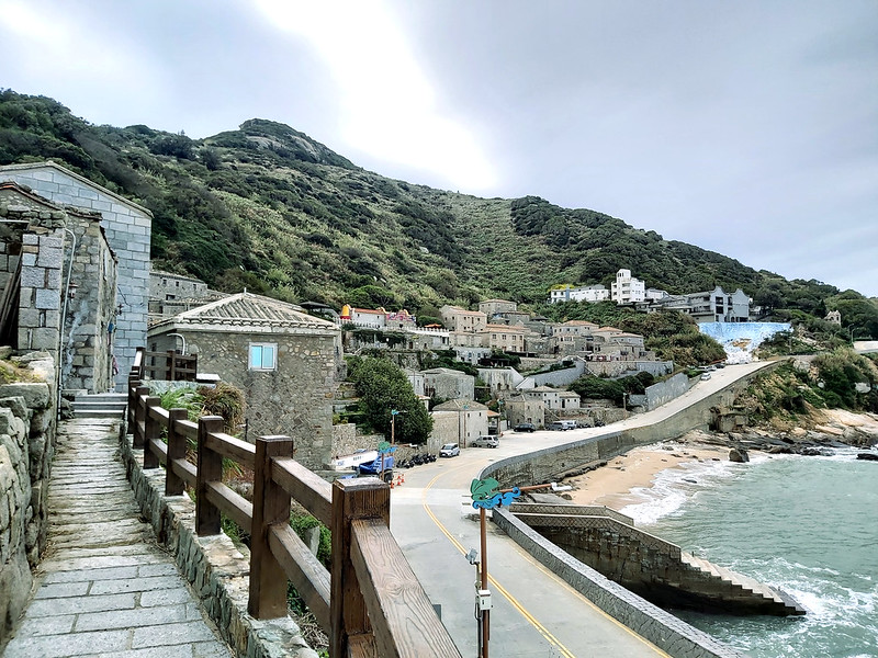
12:35 Arrived at Qinbi Village and Turtle Island 龜島. This Turtle Island is
different from the one near Yilan. You can check out Taiwan Trails and Tales for the trail on the one near
Yilan.
12:46 Reached the 7-11 Convenience Store at Qinbi Village, but it was closed.
There were chairs in front of the store, so we sat there to enjoy the views.
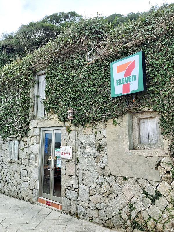
I saw a cat sitting on the chair, minding its own business.

We didn't go to Mazu Temple (or Queen of the Heaven Temple) 天后宮, and I still don't know why I missed that.
13:42 Reached Qiaozi Village 橋仔村. This small village is known for being a
village with 8 temples and more deities than residents.

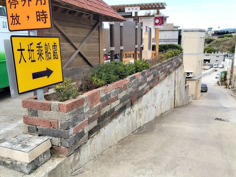
13:51 You can take a ferry to Daqiu Island. We didn't go, but we walked to the
closest point to see Daqiu Island. My friend pointed out that the local government wanted to build a bridge to
connect Beigan and Daqiu. However, the typhoons have destroyed the construction several times.
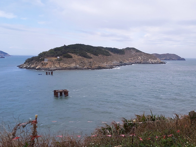
You can check out Foreigners in Taiwan for their post about Daqiu Island.
13:59 Returned to the harbor to take the ferry to Daqiu Island.
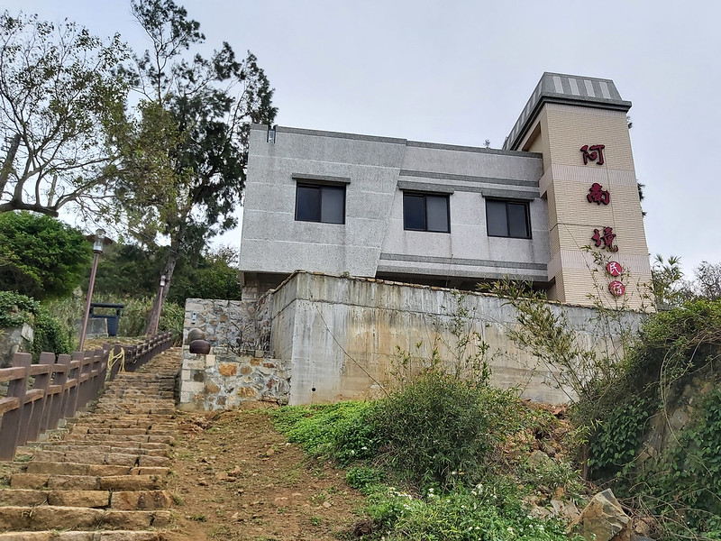
14:04 Visited the B&B, Ananjing, owned by my friend's friend. We had a
coffee break. Then, we headed to Beigan Airport.
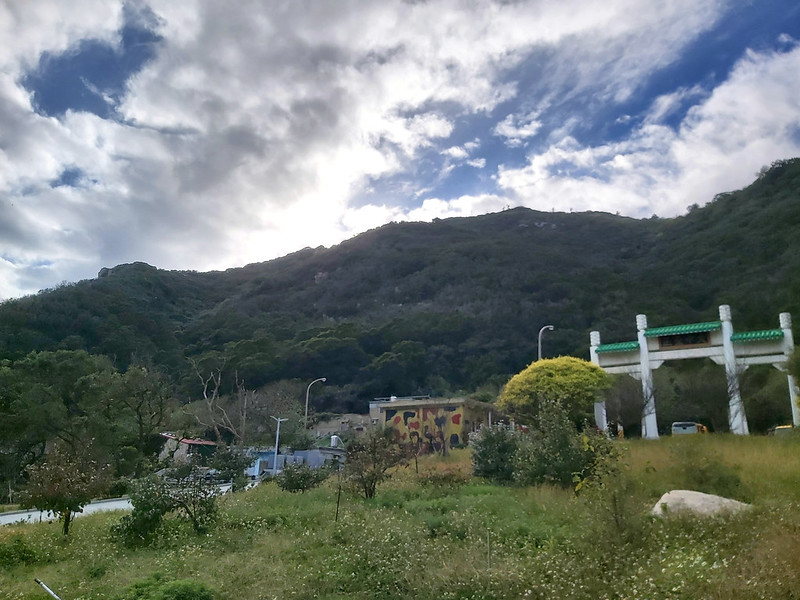
15:28 Passed the trailhead of Bishan Trail. Unfortunately, we didn't take this
trail, but I was told the view on Bishan (Mt. Bi) was beautiful.
15:34 Arrived downtown of Beigan. We had the famous fish noodle soups (NT$120)
before heading to the airport and called it a day.
Last but not least,
I want to thank my friend Jeffery Chang 張建舫 for showing me around on Matsu Islands. At first, we planned this
trip for a hiking group, and we only intended to visit Matsu for 2 days. Later, I told him I'd like to stay for
another day by myself, and he offered his company and even arranged a free place to stay for us. He's also very
kind and lets me use his photos. I can't thank him enough.